
What is Brox?
Mobile AI system for infrastructure scanning
Starts with certified pavement condition reporting
Delivers GPS-tagged, ASTM-compliant outputs
Installs on any vehicle in minutes
Expands to sidewalks, ADA ramps, landscaping, and more
Built for grants, budgets, and long-term infrastructure planning
Featured Products
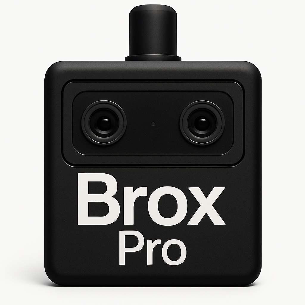
High-performance pavement inspection, engineered for DOTs, cities, and agencies that require certified, data-driven asset management — all without disrupting traffic flow.
BroxPro leverages advanced sensor systems and AI-powered analysis to produce ASTM-aligned reports and highly accurate surface assessments — all while operating at normal driving speeds. The system installs on any fleet vehicle in under 10 minutes and captures detailed condition data with GPS integration, severity classification, and automated reporting for capital planning, grant compliance, and long-term infrastructure strategy.
Ideal for: DOTs, regional agencies, military bases, airport ops, and capital programs
Key Features:
Precision surface assessment
ASTM-aligned reporting
Highway-speed data collection
Integrated GPS & cloud-based sync
ADA & sidewalk module (coming soon)
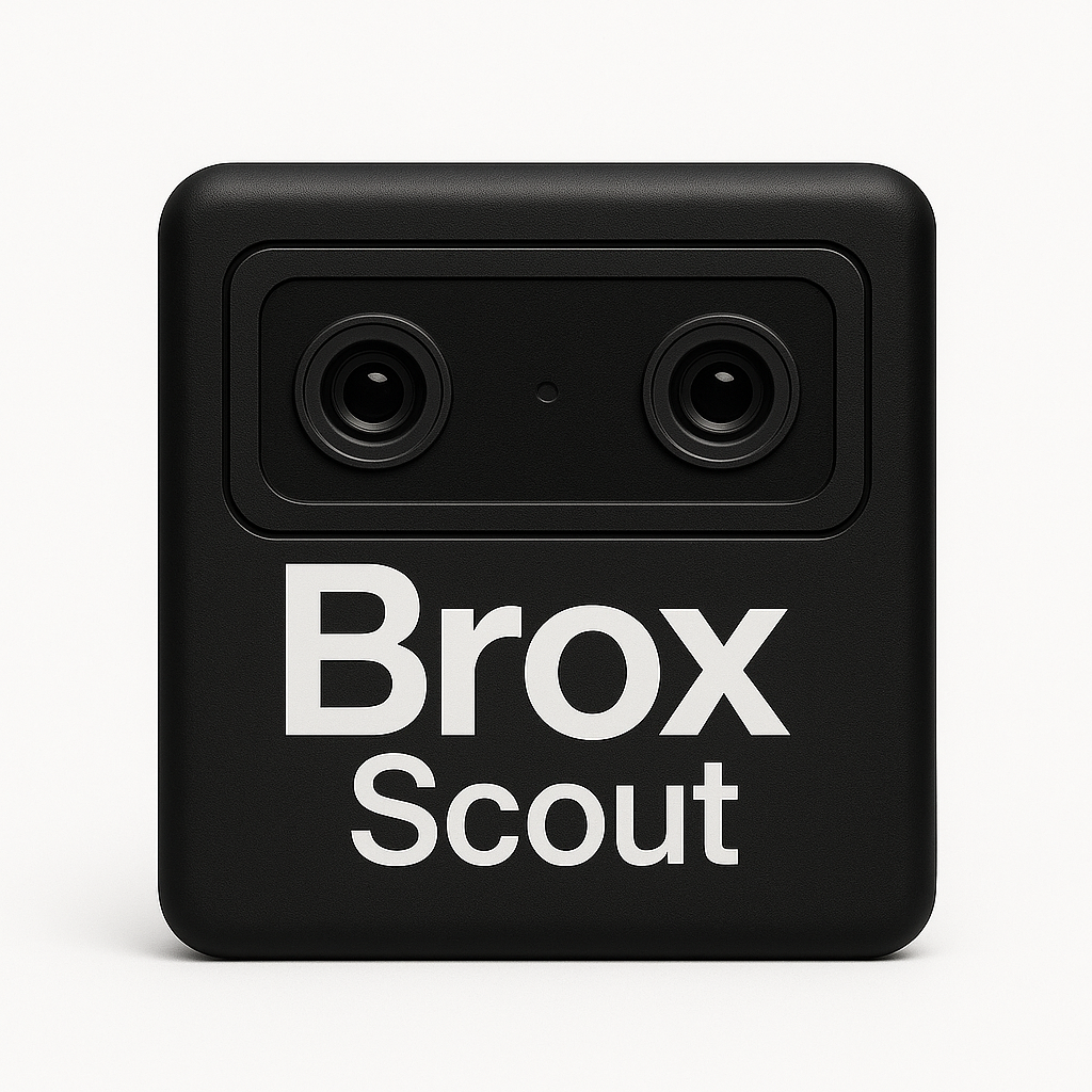
Fast, affordable pavement scanning for local governments and contractors — no specialized hardware or engineering teams required.
Brox Scout delivers automated crack detection and surface condition mapping using a compact, mobile-ready system. It’s vehicle-deployable in under 5 minutes and perfect for small teams who need scalable coverage with reliable accuracy. Reports are GPS-tagged and optimized for budgeting, permitting, and neighborhood-level planning.
Ideal for: Local cities, pavement contractors, HOAs, airports, and maintenance teams
Key Features:
Automated crack detection
GPS-stamped surface maps
Quick-install on any fleet vehicle
Cloud reporting & export-ready files
Expansion-ready for vegetation, signage, and ADA asset checks